Australians along the eastern seaboard are being urged to batten down the hatches as a massive cloud band prepares to unleash more wild weather across three major capital cities. The extensive weather system is set to deliver another soaking to communities still recovering from recent deluges.
Major Cities in the Firing Line
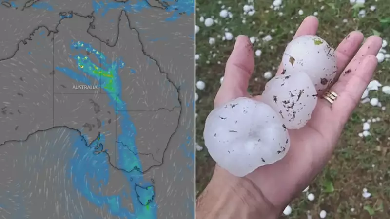
Weather authorities have issued fresh warnings for Sydney, Melbourne and Brisbane as the complex cloud formation moves across the continent. The system is expected to bring significant rainfall that could lead to flash flooding in already saturated areas.
Meteorologists are particularly concerned about the timing of this weather event, noting that many catchments remain full from previous rainfall, increasing the flood risk substantially.

What to Expect Across Different Regions
The weather impacts will vary across the eastern states, but no major city will escape untouched:
- Sydney faces another round of heavy showers with potential for localised flooding in low-lying areas
- Melbourne can expect persistent rainfall that may disrupt transport and outdoor activities
- Brisbane residents should prepare for storm activity and possible severe weather warnings
Expert Warnings and Preparedness Advice
Emergency services are urging residents to take precautions well before the severe weather hits. "Now is the time to clear gutters, secure loose items around your property, and have an emergency plan ready," advised one emergency services spokesperson.
Weather experts note that this cloud band is characteristic of the La Niña conditions that have dominated Australia's climate pattern in recent months, bringing above-average rainfall to eastern regions.
With ground conditions already saturated from previous weather events, even moderate rainfall could cause significant issues. Residents in flood-prone areas are being advised to monitor official warnings closely and be prepared to act if evacuation orders are issued.