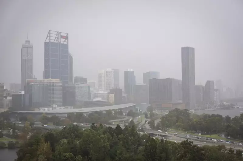
Perth residents are waking up to a wild weather morning as a severe storm system unleashes its fury across Western Australia's South West region. The city has been slammed with persistent showers overnight, but forecasters warn this is just the beginning of a dangerous weather event.
What's Brewing Off the Coast?
A vigorous cold front is charging toward the coastline, packing a powerful punch of gale-force winds and intense thunderstorm activity. The Bureau of Meteorology has issued severe weather warnings for much of the South West land division, with conditions expected to deteriorate rapidly throughout Tuesday.
Key Threats for Perth and Surrounds
- Damaging Winds: Gusts reaching up to 100 km/h could cause property damage and bring down trees
- Heavy Rainfall: Intense downpours may lead to flash flooding in low-lying areas
- Thunderstorm Activity: Multiple storm cells developing with potential for dangerous conditions
- Coastal Impacts: Dangerous surf conditions posing risks to beachgoers and boaters
Timeline of the Weather Event
The worst conditions are forecast to hit during Tuesday afternoon and evening, with the cold front expected to make landfall around midday. Perth has already received significant rainfall overnight, saturating the ground and increasing the flood risk as more heavy rain approaches.

Emergency Services on High Alert
DFES has advised residents to take immediate precautions, including securing loose outdoor items, moving vehicles under cover, and staying away from flooded waterways and downed power lines. The wild weather comes as many West Australians are still dealing with the aftermath of recent storm events.
Stay tuned to official weather warnings and emergency broadcasts as this severe weather event unfolds across Western Australia.