A flood watch remains in place for large parts of Queensland, with the state's north warned to brace for a possible drenching in the week ahead. A broad trough system is expected to migrate north and linger for several days, increasing shower and storm activity in the region.
Parts of north Queensland received more than 100 millimetres since 9am on Sunday, with 183mm falling on Japoonvale, outside Innisfail, and 167mm at Rollingstone, near Townsville. Coops Corner near Noosa had the wettest day in the south-east with 106mm falling in 24 hours.
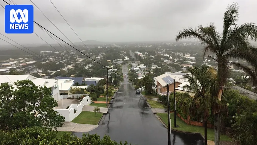
Mackay is forecast to receive up to 270mm this week, while Townsville's totals could reach 190mm, Cairns 115mm and Innisfail up to 140mm. The Bureau of Meteorology (BOM) said flooding was possible for parts of southern, central and northern Queensland in the coming days.

A severe thunderstorm warning has been issued for central and northern parts of the state, as slow-moving storms threaten heavy rainfall, which may trigger flash flooding. The warning includes parts of the North Tropical Coast and Tablelands, Northern Goldfields and Upper Flinders, Herbert and Lower Burdekin, as well as the North West and Central West districts.
A cool change is also expected to continue for parts of Queensland in the days ahead, with temperatures up to 12 degrees below the February average on Sunday. Senior forecaster Lauren Sharpe said while Sunday was the coldest day, conditions would remain cooler than average through the south-east and southern interior.