A strong cold front from the northern Pacific swept into the western US over the weekend, causing unseasonal snowfall in parts of the northwest while the eastern US prepares for a potentially record-breaking heatwave. The abrupt change in conditions hit a region that had been experiencing high summer temperatures amid drought, with temperatures from the Canadian border to California widely 5-10C below the norm since Friday, and more than 10C below in some northern areas. This pattern is expected to persist for much of the coming week.
Snowfall at Unusually Low Elevations
The cold front brought the first significant rainfall in weeks to several parts of the northwest US. Across the Rocky Mountains in Idaho, Montana, and Wyoming, the combination of rain and unseasonal cold produced snowfall at unusually low elevations for this time of year. While the summer snow line typically sits at about 3,300 metres (11,000 feet), snow fell as low as 1,800 metres on Sunday, with more expected on Monday. Several inches are forecast to accumulate at higher altitudes.
Increased Wildfire Danger
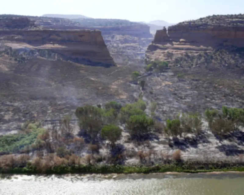
Counterintuitively, the cold front has also strongly increased the danger posed by wildfires. Much of the western US is currently suffering from some form of drought. Lightning strikes from the leading edge of the front pose an ignition risk to widespread dry vegetation and plant litter, while heightened winds fuel the spread of existing fires. The gustiest conditions over the weekend occurred in Utah, Colorado, and Arizona, where several major fires were already burning. The strong winds are expected to move north into Wyoming on Monday. According to authorities, the 2026 fire season is shaping up to be one of the worst on record in terms of the number and extent of areas affected.

Eastern Heatwave on the Horizon
Temperatures were a little below average across many other parts of the northern US over the latter part of last week, but that is set to radically change over the next few days. A heatwave developing over the northeast in the run-up to the Fourth of July weekend will push temperatures into the high 30s Celsius for several parts of the Midwest and Northeast. Forecast models suggest highs could possibly reach 40C (104F) for cities including New York, Philadelphia, and Washington DC on Thursday and Friday, with night-time lows struggling to drop below the high 20s Celsius. By contrast, the average daily high for these cities in July varies from 29C in New York to 32C in Washington. The temperature records stand at 42C for New York and 41C for Philadelphia and Washington.