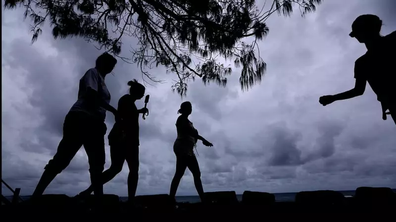
Queensland residents are facing an unprecedented weather crisis as severe thunderstorms hammered parts of the state for the third consecutive day, compounding damage from earlier storms while heatwave conditions continue to intensify across the region.
Widespread Destruction and Power Outages
The latest wave of violent weather brought damaging winds, large hail and intense rainfall overnight, forcing many residents back to square one as they attempted to clean up from Monday and Tuesday's destructive storms. Wind gusts reaching 109km/h were recorded at Dolby on Wednesday, with nearby Goondiwindi experiencing similar conditions with 107km/h gusts.
Emergency services have been inundated with calls for assistance, particularly in the Warwick area southwest of Brisbane where multiple roofs were reportedly torn off buildings. The State Emergency Service received approximately 240 calls for help as the storm system moved through the region.

The cumulative effect of days of severe weather has left at least 15,000 homes and businesses without power after trees and powerlines were ripped down across southeast Queensland. Energy providers have been working around the clock to restore electricity, though some areas face extended delays.
Recovery Efforts and Ongoing Risks
While most power outages are expected to be resolved in the coming hours, communities around Bribie Island and the Sunshine Coast are likely to remain without electricity into Friday. An Energex spokesperson outlined the challenges facing repair crews, stating: "Field crews will again work throughout the night, but will have to stop work during any new storm activity."
The spokesperson issued a critical safety warning to residents: "Energex asks for residents to take extreme care when cleaning up storm debris, particularly fallen trees and vegetation, as fallen powerlines may be hidden underneath debris and could well be live."
Brisbane bore the brunt of Tuesday night's second wave of damage, with some areas receiving up to 110mm of rain. While rainfall eased slightly on Wednesday, significant totals were still recorded with 91mm at Belgrade Park and 66mm at Kooringa.
More Storms and Intensifying Heatwave
Senior meteorologist Mirium Bradbury confirmed that Queenslanders haven't seen the end of the severe weather, with more thunderstorms expected on Thursday. "For today, we are looking at thunderstorms once again across parts of Queensland and Northeast NSW," she said. "We are expecting a storm risk across most areas, including the north, inland and eastern parts of the state."
Bradbury indicated that the severe storms are most likely to bring heavy rainfall that could lead to flash flooding, with the highest risk occurring from late morning through the afternoon and potentially continuing into the evening.
Compounding the storm threat, heatwave conditions are expected to intensify on Thursday and persist through the weekend. Brisbane, Ipswich and Rockhampton are all forecast to reach highs of 36C, with much of the state remaining well above 30C.
Temperatures across Queensland and northern NSW are sitting 2C-8C above the November average, creating what Bradbury described as "multiple days in a row where we've seen such warm conditions." The prolonged period of hot days and warm nights is creating challenging conditions for managing heat stress.
Authorities are reminding people to stay cool, remain indoors when possible and stay hydrated. Unfortunately, relief from the heat isn't expected until early next week, meaning Queenslanders must endure several more days of both severe storm activity and intense heatwave conditions.