Western Australia is preparing for the arrival of Severe Tropical Cyclone Narelle, which is expected to intensify into a category five system before weakening and making landfall late Friday night near Shark Bay. The Bureau of Meteorology has warned that the storm could bring destructive winds, heavy rain, and a storm surge, particularly in the Exmouth area.
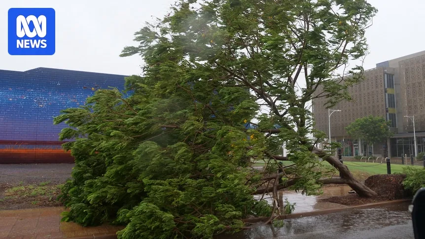
Coastal communities including Carnarvon and Kalbarri are being urged to prepare for extreme weather not seen since Cyclone Seroja in 2021. Schools have been closed, mine workers sent home, and locals are sandbagging their homes. Tourists have been told to leave the region as the cyclone moves south.
DFES Commissioner Darren Klemm said the cyclone is more powerful than other recent severe weather events, with winds potentially reaching up to 275 kilometers per hour. He urged residents to ensure their homes can withstand winds of up to 200 km/h or seek shelter in evacuation centers.

The Bureau of Meteorology's James Ashley noted that while Perth will avoid the worst of the winds, the city can expect 50 to 100 millimeters of rain on Friday and Saturday. He emphasized that even a slight change in the cyclone's track could alter which areas are directly impacted.
Authorities are also warning of the possibility of bushfires being ignited in areas just outside the cyclone's path. Residents are advised to stay updated through the Bureau of Meteorology's website or Emergency WA.