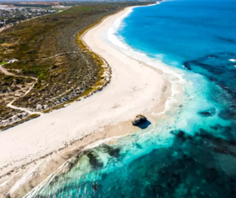
After nearly a decade of meticulous planning, the southern section of Two Rocks Beach is poised for a significant upgrade, with construction of a new access road and carpark scheduled to commence in July. This multi-million-dollar project aims to transform public access to the popular coastal area, addressing long-standing limitations that have frustrated visitors for years.
Project Details and Timeline
The Southern Two Rocks Beach access project will see the development of a 48-bay carpark situated just metres from the shoreline, dramatically reducing the current 300-metre walk through dunes. A new asphalt access road will connect this facility to Two Rocks Road, specifically between Whitfield Drive and Wilson Place, enhancing convenience and safety for beachgoers.
Additional features include the installation of energy-efficient LED street lighting and beach emergency number signs, designed to assist emergency services in quickly identifying locations during incidents. The City of Wanneroo is expected to award the tender for this $3.1 million initiative at its next ordinary council meeting on April 28, following the endorsement of the foreshore management plan last July.

Long Planning Process and Environmental Considerations
This project has been in the pipeline for nearly eight years, originating from a petition by a land developer in late 2018. Over the past seven years, it has progressed through extensive technical studies, including geotechnical surveys, coastal risk assessments, concept design, and environmental evaluations. Public consultation began as early as 2019, with the Department of Water and Environmental Regulation conducting additional assessments and four public consultation processes due to the land clearing required.
City officers have emphasised that the project was designed to minimise environmental impact, though some native vegetation clearing is unavoidable. The final alignment avoids 36 priority flora species, but directly impacts four, which must be removed and relocated. A total of 1.56 hectares of native bushland will be cleared, with approval granted by the DWER in March 2025, and the city is required to rehabilitate 0.78 hectares of this area.
Safety Measures and Historical Context
Given the area's historical use for military training, a precautionary unexploded ordnance sweep of the dunes will be conducted before work begins to ensure public safety. This measure underscores the thorough approach taken to address all potential risks associated with the development.
The project is anticipated to be completed by mid-2027, marking a significant milestone for the community after years of anticipation. This upgrade not only promises improved accessibility but also reflects a balanced approach to development and environmental stewardship, setting a precedent for future coastal projects in the region.