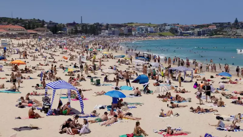
As Australians prepare for the quintessential sounds of summer—the crack of a cricket bat, the hum of cicadas, and the sizzle of a backyard barbecue—the weather is composing a far less predictable and more extreme score. The latest long-range forecast is painting a picture of a hotter-than-average season with significant fire dangers, shifting dramatically from earlier predictions.
A Nation Braced for Heat
The overarching theme for December through February is heat. Daytime temperatures are expected to be above average across most of Australia. The most intense heat is forecast to peak across the northwest and western parts of the country, as well as sections of southeastern South Australia, extending through much of Victoria and Tasmania.
There will be little respite after the sun goes down, with minimum overnight temperatures also tracking above average for most regions. This is particularly the case for northern Australia and the island state of Tasmania.

Rainfall Becomes a Guessing Game
While heat seems a certainty, rainfall is the season's great unknown. The forecast points to below-average rainfall for parts of Western Australia, while for the eastern states, it's a line-ball situation. Based on current climate models, no one can confidently call whether eastern Australia will see above or below-average rainfall totals.
This marks a significant shift from previous outlooks, which had pointed towards a much wetter December. The change in conditions has authorities particularly concerned about the bushfire threat.
From Floods to Fire: A Changed Landscape
Earlier forecasts had suggested a lower fire risk due to higher-than-usual rainfall. However, that script has been flipped. The significant flooding experienced earlier in the year has led to extensive vegetation growth. This lush growth has now dried out, creating a high fuel load across inland NSW.
Combined with the current spell of prolonged hot weather, this presents a significantly increased fire risk for inland areas of New South Wales this summer.
Sydney, which already endured a record-breaking hot October, is in for more of the same. Climatologists are still finalising the numbers, but October 2025 is expected to be the hottest on record for the harbour city. This follows a sweltering event on October 22nd, when Observatory Hill hit 37C and Bankstown soared to a top of 40C after a mass of hot, dry air swept in from the interior.
Summer also brings the threat of severe storms and tropical cyclones. While Sydney's storm season typically peaks in October and November, dramatic conditions are expected to run right through until April. The nation's most lightning-active regions are the northern tropics and the stretch from southeast Queensland down to central NSW. On average, Australia can expect three to four tropical cyclones to cross the coast each season, with around nine or ten forming in the region.
Trying to capture all the current climate drivers is proving challenging even for experts, meaning this long-range forecast will be continuously monitored and updated. The key takeaway for Australians this summer is to be prepared, but to always expect the unexpected.